Tiedosto:Kazakhstan adm location map.svg

Alkuperäinen tiedosto (SVG-tiedosto; oletustarkkuus 1 984 × 1 134 kuvapistettä; tiedostokoko 562 KiB)
| Tämä tiedosto on tiedostotietokanta Wikimedia Commonsista. Tiedot kuvaussivulta näkyvät alla. |  |
Tiedoston kuvaussivu Commonsissa |
Yhteenveto
| Kuvaus |
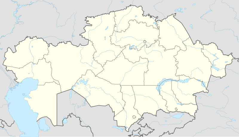
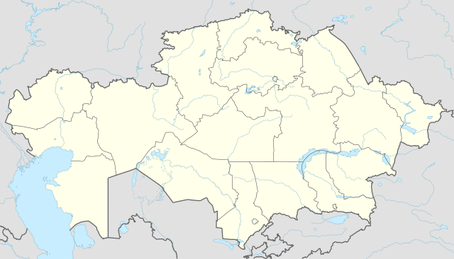
Deutsch: Positionskarte von Kasachstan
English: Location map of Kazakhstan
|
||||||||||||
| Päiväys | |||||||||||||
| Lähde |
Own work using:
|
||||||||||||
| Tekijä | NordNordWest | ||||||||||||
| Muut versiot |
|
||||||||||||
_location_map.svg)

|
Saksankielisen Wikipedian projekti Kartenwerkstatt on parantanut tätä karttaa. Myös sinä voit ehdottaa jotakin karttaa parannettavaksi.
|
Lisenssi
Usage of this file with:

explanatory notes: Legally binding is only the full legalcode. For a free usage I recommend to respect the following licence conditions:
1. Provide my name as given above: NordNordWest,
2. a copy of, or the URI for, the applicable license: https://creativecommons.org/licenses/by-sa/3.0/de/legalcode,
3. the title of the work,
4. in the case of an adaptation, a credit identifying the use of the work in the adaptation.
This license and the rights granted hereunder will terminate automatically upon any breach by you of the terms of this license. Any of the above conditions can be waived if you get permission from the copyright holder. If you have questions or wish differing conditions, please contact me through nnwest or my discussion page ![]() t-online.de
t-online.de
- Voit:
- jakaa – kopioida, levittää ja esittää teosta
- remiksata – valmistaa muutettuja teoksia
- Seuraavilla ehdoilla:
- nimeäminen – Sinun on mainittava lähde asianmukaisesti, tarjottava linkki lisenssiin sekä merkittävä, mikäli olet tehnyt muutoksia. Voit tehdä yllä olevan millä tahansa kohtuullisella tavalla, mutta et siten, että annat ymmärtää lisenssinantajan suosittelevan sinua tai teoksen käyttöäsi.
- jaa samoin – Jos muutat tai perustat tähän työhön, voit jakaa tuloksena syntyvää työtä vain tällä tai tämän kaltaisella lisenssillä.

Tiedoston historia
Päiväystä napsauttamalla näet, millainen tiedosto oli kyseisellä hetkellä.
| Päiväys | Pienoiskuva | Koko | Käyttäjä | Kommentti | |
|---|---|---|---|---|---|
| nykyinen | 4. lokakuuta 2022 kello 17.16 | | 1 984 × 1 134 (562 KiB) | NordNordWest | upd 2022 |
| 21. helmikuuta 2022 kello 22.45 |  | 1 984 × 1 134 (554 KiB) | NordNordWest | corr | |
| 26. kesäkuuta 2018 kello 00.41 |  | 1 984 × 1 134 (619 KiB) | NordNordWest | corr | |
| 26. syyskuuta 2014 kello 18.48 |  | 1 984 × 1 134 (618 KiB) | NordNordWest | == {{int:filedesc}} == {{Information |Description= {{de|1=Positionskarte von Kasachstan}} {{en|1=Location map of Kazakhstan}} {{Location map series N |stretching=150 |top=56 |bottom=40 |left=46 |right=88 }} |Source={{Own using}} * United States Nationa... |
Tiedoston käyttö
Seuraavat 42 sivua käyttävät tätä tiedostoa:
- Ahmed Jasawin mausoleumi
- Almaty
- Aqsw
- Aqtaw
- Aqtöbe
- Aral
- Arıs
- Astana
- Atıraw
- Ayagöz
- Baikonur
- Balkaš (kaupunki)
- Ekibastuz
- Fort-Şevçenko
- Jarkent
- Jañaözen
- Jezqazğan
- Karaganda
- Kazakstanin pääkaupunki
- Kentaw
- Pavlodar
- Qapşağay
- Qaskeleñ
- Qostanay
- Qulsarı
- Qızılorda
- Rïdder
- Saran
- Sarıağaş
- Semey
- Sätbajev
- Taldyqorghan
- Talğar
- Tamgaly
- Taraz
- Temirtaw
- Türkistan
- Uralsk
- Zıryanovsk
- Öskemen
- Šymkent
- Malline:Sijaintikartta Kazakstan
Tiedoston järjestelmänlaajuinen käyttö
Seuraavat muut wikit käyttävät tätä tiedostoa:
- Käyttö kohteessa af.wikipedia.org
- Käyttö kohteessa an.wikipedia.org
- Käyttö kohteessa ar.wikipedia.org
- Käyttö kohteessa ast.wikipedia.org
- Käyttö kohteessa azb.wikipedia.org
- Käyttö kohteessa az.wikipedia.org
Näytä lisää tämän tiedoston järjestelmänlaajuista käyttöä.