Korkeuskartta (tietokonegrafiikka)
Ulkoasu


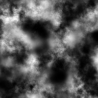
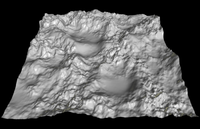
Korkeuskartta (engl. Heightfield) on tietokonegrafiikassa tiedosto, jolla kuvataan alueen korkeussuhteita.
Korkeuskarttojen renderoija
[muokkaa | muokkaa wikitekstiä]Luontiohjelmia
[muokkaa | muokkaa wikitekstiä]- terraineer – a small tool generating and teaching heightmap generation
- World Machine – a procedural terrain generator, which can simulate natural erosion. A free version is available with restriction only in the size of terrain generated(512*512)
- Nem's Mega 3D Terrain Generator (Arkistoitu – Internet Archive) – A 100% free generator which gives the user the ability to move the terrain freehand rather than by changing the settings on tools.
