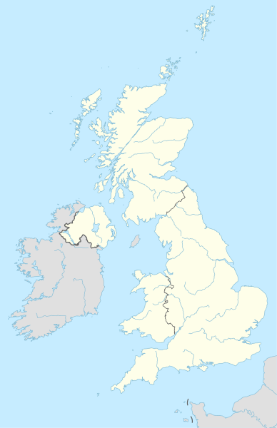
Tiedosto:United Kingdom adm location map.svg
Siirry navigaatioon
Siirry hakuun

Tämän PNG-esikatselun koko koskien SVG-tiedostoa: 388 × 600 kuvapistettä. Muut resoluutiot: 155 × 240 kuvapistettä | 310 × 480 kuvapistettä | 497 × 768 kuvapistettä | 663 × 1 024 kuvapistettä | 1 325 × 2 048 kuvapistettä | 886 × 1 369 kuvapistettä.
Alkuperäinen tiedosto (SVG-tiedosto; oletustarkkuus 886 × 1 369 kuvapistettä; tiedostokoko 703 KiB)
Tiedoston historia
Päiväystä napsauttamalla näet, millainen tiedosto oli kyseisellä hetkellä.
| Päiväys | Pienoiskuva | Koko | Käyttäjä | Kommentti | |
|---|---|---|---|---|---|
| nykyinen | 28. huhtikuuta 2015 kello 22.13 |  | 886 × 1 369 (703 KiB) | NordNordWest | == {{int:filedesc}} == {{Information |Description= {{de|1=Positionskarte des Vereinigten Königreichs}} {{en|1=Location map of the United Kingdom}} {{Location map series N |stretching=170 |top=61.0 |bottom=49.0 |left=-11.0 |right=2.2 }} |Source={{Own u... |
Tiedoston käyttö
Seuraavat 82 sivua käyttävät tätä tiedostoa:
- Aberfan
- Aberffraw
- Aberhonddu
- Abingdon (Oxfordshire)
- Amlwch
- Ashfield
- Barmouth
- Berwick-upon-Tweed
- Bidston
- Blaenavonin teollisuusmaisema
- Blenheimin palatsi
- Blyth (Northumberland)
- Bridgwater
- Brodgarin kehä
- Caernarfonin linna
- Caerphilly
- Castletown
- Codnorin linna
- Colwyn Bay
- Condate (Britannia)
- Dartmoor
- Derwentin laakson tehtaat
- Dirletonin linna
- Douglas (Mansaari)
- Dumfries
- Eurovision laulukilpailu 2023
- Falkirk
- Gilfach Goch
- Glastonbury
- Goathland
- Great Yarmouth
- Harrogate
- Haverfordwest
- Holyhead
- Hucknall
- Huddersfield
- Immingham
- Ipswich
- Jalkapallo kesäolympialaisissa 2012
- Kilmarnock
- King’s Lynn
- Kirkcudbright
- Lanark
- Lerwick
- Llandudno
- Llanfairpwllgwyngyll
- Lontoo
- Marlborough (Englanti)
- Menai Bridge
- Mendip
- Middlesbrough
- Milford Haven
- Monmouth
- Narberth
- Newtownards
- Northampton
- Norwich
- Orkneylaiset
- Penmon
- Pentre Ifan
- Pickering (Englanti)
- Pontcysyllten akvedukti
- Portree
- Ramsey (Mansaari)
- Renfrew
- Rhosllanerchrugog
- Rhydaman
- Russell-ryhmä
- Saltaire
- Smethwick
- South Shields
- Stornoway
- Swindon
- Uffingtonin valkoinen hevonen
- Vale of White Horse
- Wells
- Weston-super-Mare
- Malline:Location map Monta
- Malline:Location map Monta/ohje
- Malline:Sijaintikartta
- Malline:Sijaintikartta/ohje
- Malline:Sijaintikartta Yhdistynyt kuningaskunta
Tiedoston järjestelmänlaajuinen käyttö
Seuraavat muut wikit käyttävät tätä tiedostoa:
- Käyttö sivustolla ab.wikipedia.org
- Käyttö sivustolla af.wikipedia.org
- Käyttö sivustolla als.wikipedia.org
- Käyttö sivustolla an.wikipedia.org
- Londres
- Oxford
- Bristón
- Seu de Bristón
- Muro d'Hadrián
- Seu de Saint Albans
- Castiello de Dintagell
- Aeropuerto de Londres-Stansted
- Birmingham
- Blackburn
- Bolton
- Liverpool
- Manchester
- Newcastle upon Tyne
- Norwich
- Stoke-on-Trent
- Sunderland
- Abertawe
- Castiello de Windsor
- Seu de Sant Pavlo de Londres
- Cambridge
- Llanfairpwllgwyngyllgogerychwyrndrobwllllantysiliogogogoch
- Estadio de White City
- Plantilla:Mapa de localización Reino Uniu
- Saint-Pierre-Port
- Saint-Hélier
- Doolish
- Caerdydd
- Southampton
- York
- Leeds
- Sheffield
- Leicester
- Coventry
- Newport
- Bradford
- Kingston upon Hull
Näytä lisää tämän tiedoston järjestelmänlaajuista käyttöä.


