Tiedosto:Map of approximate size, shape, and location of Ghawar Field.png
Siirry navigaatioon
Siirry hakuun
Tämän esikatselun koko: 622 × 599 kuvapistettä. Muut resoluutiot: 249 × 240 kuvapistettä | 498 × 480 kuvapistettä | 688 × 663 kuvapistettä.
Alkuperäinen tiedosto (688 × 663 kuvapistettä, 20 KiB, MIME-tyyppi: image/png)
| Tämä tiedosto on tiedostotietokanta Wikimedia Commonsista. Tiedot kuvaussivulta näkyvät alla. |  |
Tiedoston kuvaussivu Commonsissa |
Yhteenveto
| Kuvaus |
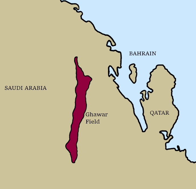
English: Map of the approximate size, shape, and location of the Ghawar Oil Field (Saudi Arabia). |
| Päiväys | |
| Lähde | Oma teos |
| Tekijä | Anastrophe |
Lisenssi
Minä, tämän teoksen tekijänoikeuksien haltija, julkaisen täten tämän teoksen seuraavalla lisenssillä:
Tämä tiedosto on lisensoitu Creative Commons Nimeä-JaaSamoin 4.0 Kansainvälinen -lisenssillä.
- Voit:
- jakaa – kopioida, levittää ja esittää teosta
- remiksata – valmistaa muutettuja teoksia
- Seuraavilla ehdoilla:
- nimeäminen – Sinun on mainittava lähde asianmukaisesti, tarjottava linkki lisenssiin sekä merkittävä, mikäli olet tehnyt muutoksia. Voit tehdä yllä olevan millä tahansa kohtuullisella tavalla, mutta et siten, että annat ymmärtää lisenssinantajan suosittelevan sinua tai teoksen käyttöäsi.
- jaa samoin – Jos muutat tai perustat tähän työhön, voit jakaa tuloksena syntyvää työtä vain tällä tai tämän kaltaisella lisenssillä.
Tiedoston historia
Päiväystä napsauttamalla näet, millainen tiedosto oli kyseisellä hetkellä.
| Päiväys | Pienoiskuva | Koko | Käyttäjä | Kommentti | |
|---|---|---|---|---|---|
| nykyinen | 19. syyskuuta 2019 kello 08.48 | | 688 × 663 (20 KiB) | Anastrophe | Reverted to version as of 05:45, 19 September 2019 (UTC) |
| 19. syyskuuta 2019 kello 08.46 |  | 688 × 663 (18 KiB) | Anastrophe | Reverted to version as of 21:55, 14 September 2019 (UTC) | |
| 19. syyskuuta 2019 kello 08.45 |  | 688 × 663 (20 KiB) | Anastrophe | OCD kicked in - very minor changes to show the land masses a little more accurately. | |
| 15. syyskuuta 2019 kello 00.55 |  | 688 × 663 (18 KiB) | Anastrophe | User created page with UploadWizard |
Tiedoston käyttö
Seuraava sivu käyttää tätä tiedostoa:
Tiedoston järjestelmänlaajuinen käyttö
Seuraavat muut wikit käyttävät tätä tiedostoa:
- Käyttö kohteessa de.wikipedia.org
- Käyttö kohteessa en.wikipedia.org
- Käyttö kohteessa es.wikipedia.org
- Käyttö kohteessa fr.wikipedia.org
- Käyttö kohteessa gl.wikipedia.org
- Käyttö kohteessa pl.wikipedia.org
- Käyttö kohteessa sv.wikipedia.org