Tiedosto:Canada British Columbia location map 2.svg
Siirry navigaatioon
Siirry hakuun

Tämän PNG-esikatselun koko koskien SVG-tiedostoa: 740 × 600 kuvapistettä. Muut resoluutiot: 296 × 240 kuvapistettä | 593 × 480 kuvapistettä | 948 × 768 kuvapistettä | 1 264 × 1 024 kuvapistettä | 2 528 × 2 048 kuvapistettä | 2 419 × 1 960 kuvapistettä.
Alkuperäinen tiedosto (SVG-tiedosto; oletustarkkuus 2 419 × 1 960 kuvapistettä; tiedostokoko 1,57 MiB)
| Tämä tiedosto on tiedostotietokanta Wikimedia Commonsista. Tiedot kuvaussivulta näkyvät alla. |  |
Tiedoston kuvaussivu Commonsissa |
| Kuvaus |
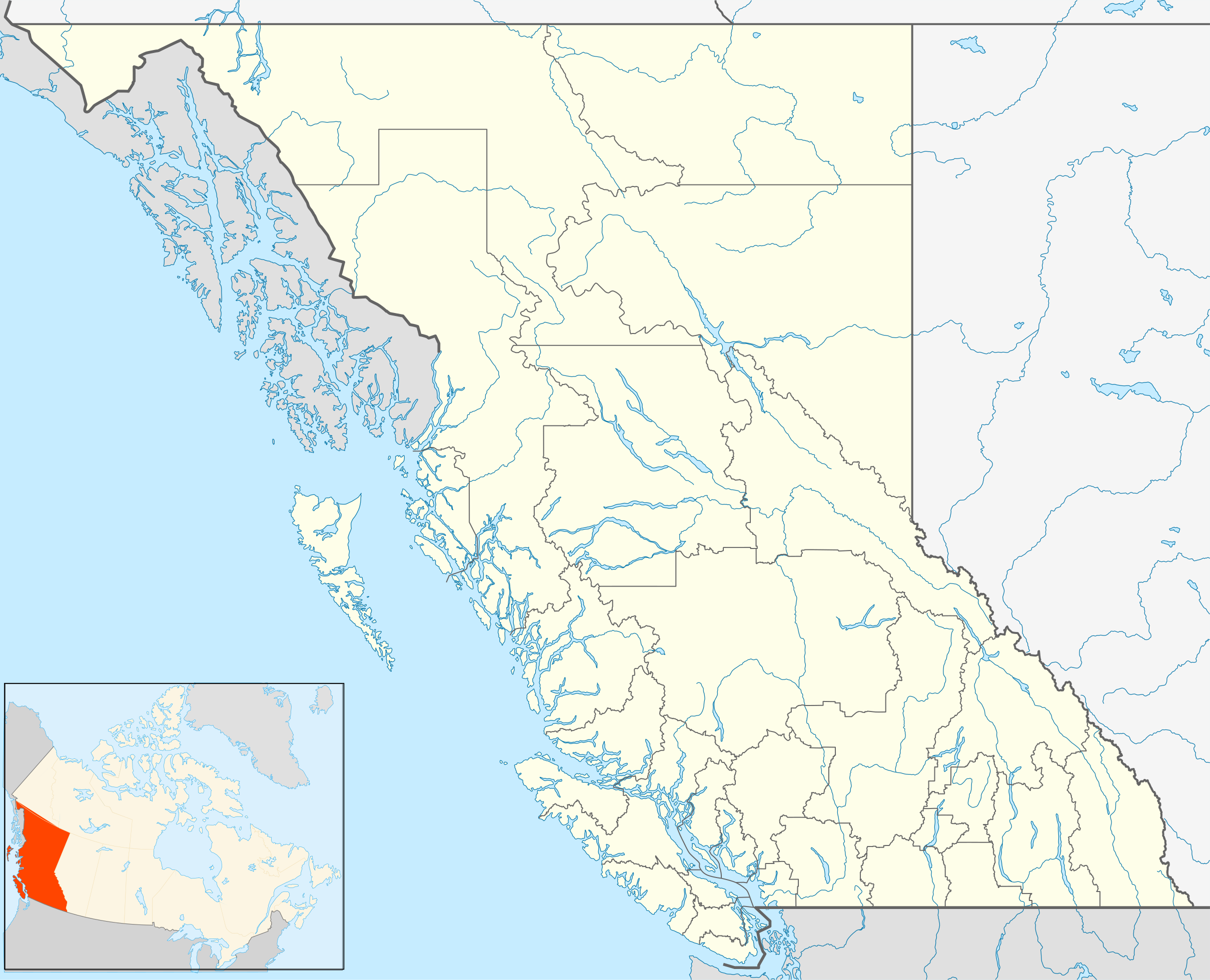
Quadratische Plattkarte, N-S-Streckung 170 %. Geographische Begrenzung der Karte:
Equirectangular projection, N/S stretching 170 %. Geographic limits of the map:
|
| Päiväys | |
| Lähde | Oma teos, File:Canada_British_Columbia_location_map.svg by NordNordWest |
| Tekijä | Hanhil (talk) 16:54, 24 September 2009 (UTC) |
| Käyttöoikeus (Tämän tiedoston uudelleenkäyttö) |
Minä, tämän teoksen tekijänoikeuksien haltija, julkaisen täten tämän teoksen seuraavalla lisenssillä: Tämä tiedosto on lisensoitu Creative Commons Nimeä-JaaSamoin 3.0 Ei sovitettu -lisenssillä.
|
Tiedoston historia
Päiväystä napsauttamalla näet, millainen tiedosto oli kyseisellä hetkellä.
| Päiväys | Pienoiskuva | Koko | Käyttäjä | Kommentti | |
|---|---|---|---|---|---|
| nykyinen | 1. lokakuuta 2018 kello 18.08 | | 2 419 × 1 960 (1,57 MiB) | Allice Hunter | Reverted to version as of 20:46, 7 April 2013 (UTC) |
| 4. elokuuta 2018 kello 06.06 |  | 2 419 × 1 960 (1,53 MiB) | Allice Hunter | Comox Valley District | |
| 7. huhtikuuta 2013 kello 23.46 |  | 2 419 × 1 960 (1,57 MiB) | Hanhil | undid the version of 10 mar 2011 18:37 where the northern part of the Queen Charlotte Islands were gone | |
| 10. maaliskuuta 2011 kello 19.37 |  | 2 419 × 1 960 (1,01 MiB) | Hanhil | change in line with http://commons.wikimedia.org/w/index.php?title=File%3ACanada_British_Columbia_location_map.svg&action=historysubmit&diff=51783638&oldid=44779970 | |
| 24. syyskuuta 2009 kello 19.54 |  | 2 419 × 1 960 (1,58 MiB) | Hanhil | {{Information |Description= {{de|Positionskarte von British Columbia, Kanada}} Quadratische Plattkarte, N-S-Streckung 170 %. Geographische Begrenzung der Karte: * N: 60.3° N * S: 48.1° N * W: 139.3° W * O: 113.7� |
Tiedoston käyttö
Seuraavat 18 sivua käyttävät tätä tiedostoa:
- Abbotsford
- Armstrong (Brittiläinen Kolumbia)
- Castlegar
- Chilliwack
- Duncan (Kanada)
- Kamloops
- Kelowna
- Langley (kunta Kanadassa)
- Masset
- Nanaimo
- North Vancouver (kaupunki)
- Prince George (kaupunki)
- Prince Rupert
- Sandspit
- Skidegate
- Vancouver
- Victoria (Kanada)
- Malline:Sijaintikartta Kanada Brittiläinen Kolumbia
Tiedoston järjestelmänlaajuinen käyttö
Seuraavat muut wikit käyttävät tätä tiedostoa:
- Käyttö kohteessa af.wikipedia.org
- Käyttö kohteessa ar.wikipedia.org
- Käyttö kohteessa ast.wikipedia.org
- Käyttö kohteessa azb.wikipedia.org
- Käyttö kohteessa ba.wikipedia.org
- Käyttö kohteessa bg.wikipedia.org
- Käyttö kohteessa bn.wikipedia.org
- Käyttö kohteessa ca.wikipedia.org
- Käyttö kohteessa ceb.wikipedia.org
- Käyttö kohteessa en.wikipedia.org
- Victoria, British Columbia
- Vancouver
- Prince George, British Columbia
- Kelowna
- Abbotsford, British Columbia
- Nelson, British Columbia
- Fernie, British Columbia
- 108 Mile Ranch
- 100 Mile House
- South Cariboo Regional Airport
- Haida Gwaii
- Barkerville
- Whistler, British Columbia
- List of people from British Columbia
- Nanaimo
- Lillooet
- Hudson's Hope
- Port Alberni
- Saanich, British Columbia
- Kamloops
- Chilliwack
- Vernon, British Columbia
- Mission, British Columbia
- Penticton
- Campbell River, British Columbia
- Quesnel, British Columbia
- Cache Creek, British Columbia
- Field, British Columbia
- Prince Rupert, British Columbia
- Esquimalt
- Gibsons
- Parksville, British Columbia
- Cranbrook, British Columbia
- Fort St. John, British Columbia
Näytä lisää tämän tiedoston järjestelmänlaajuista käyttöä.